Bodemportret
https://bodemportret.vvvvvvv.nl
Interactive Data Visualisation for Urban Soil Awareness
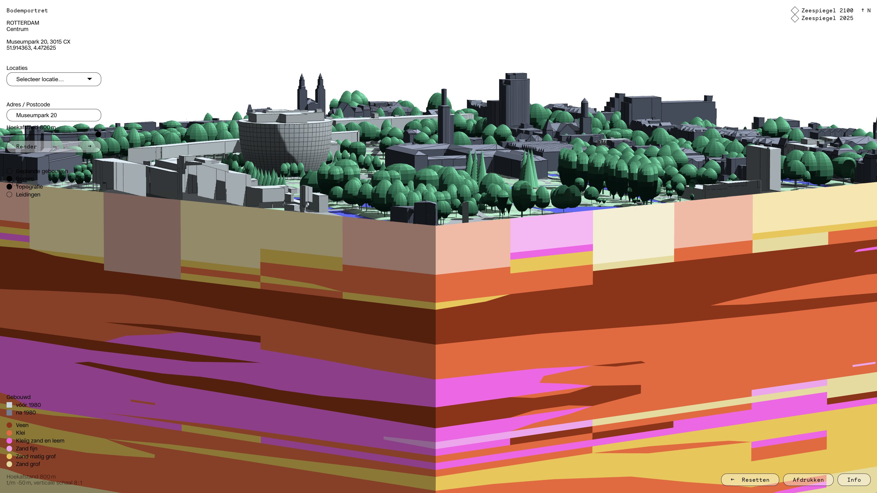
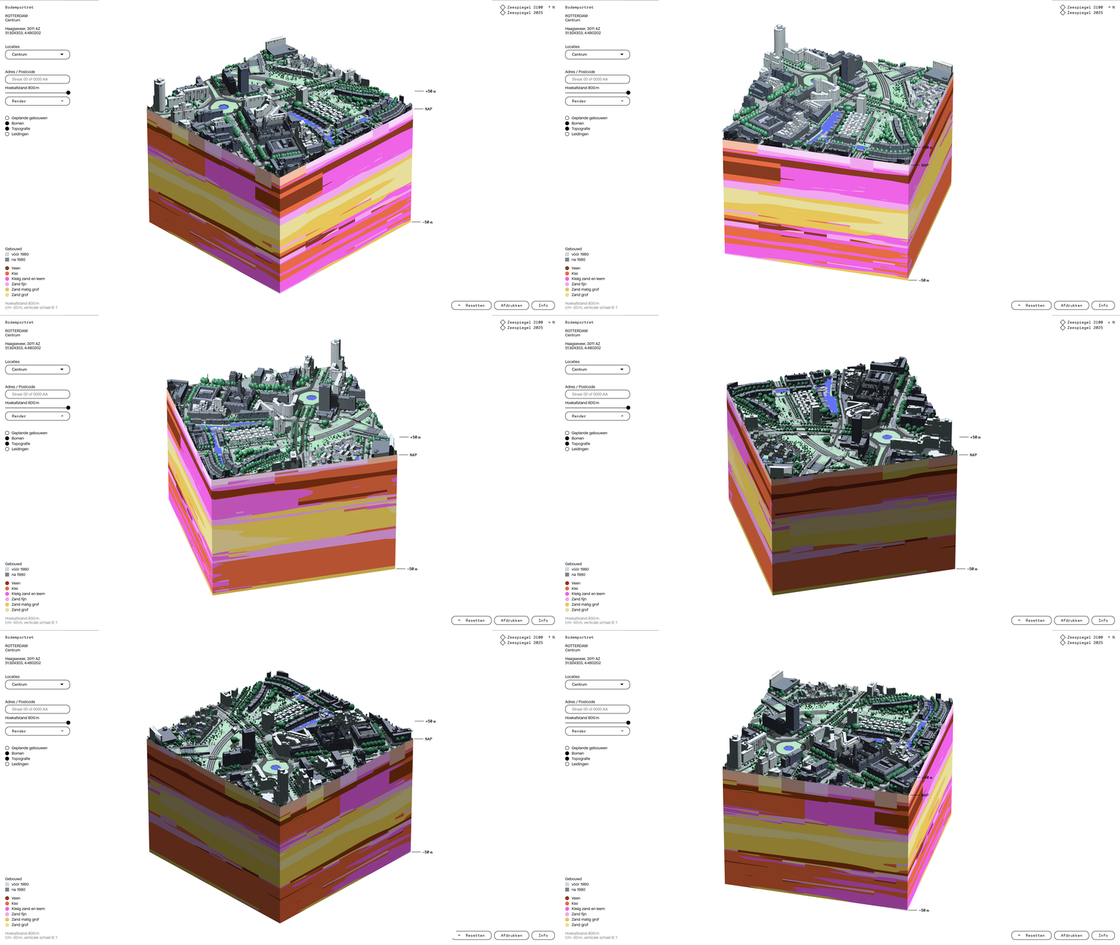
Beneath every Rotterdam street lies a story written in peat, clay, and sand. Bodemportret (Portrait of a Landscape) brings that story to the surface, transforming complex geological data into a personal artwork rooted in place. Each Rotterdam postal code generates a unique portrait of the soil beneath it: beautiful enough to frame, meaningful enough to change how residents understand and engage with the ground they live on.
Many Rotterdam neighbourhoods are built on sinking ground, with some areas subsiding centimetres annually. Despite living below sea level and depending entirely on groundwater management and dikes, most residents have little awareness of their environmental vulnerability. As climate change demands more adaptive urban development, difficult decisions about neighbourhood futures —including potential relocation— require communities that are genuinely informed and ready to participate.
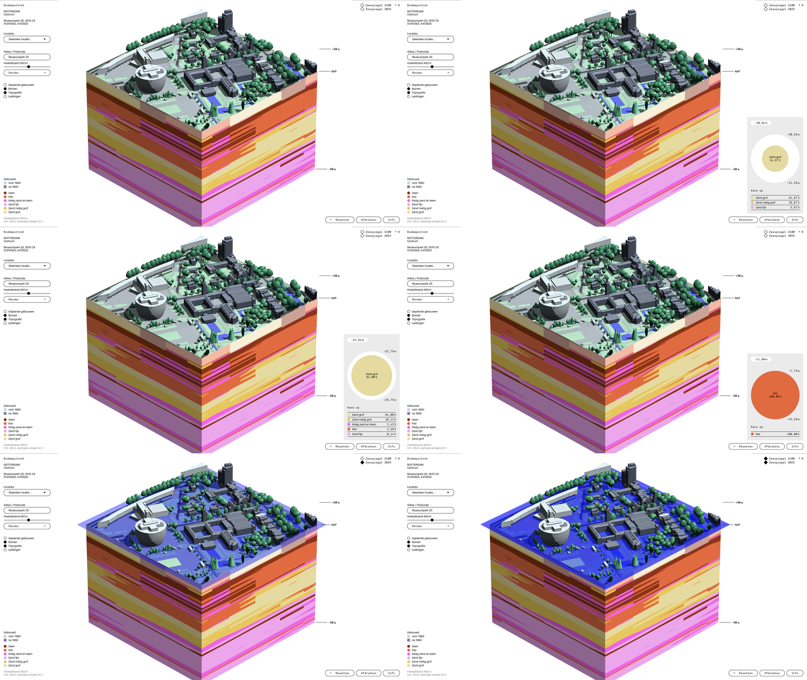
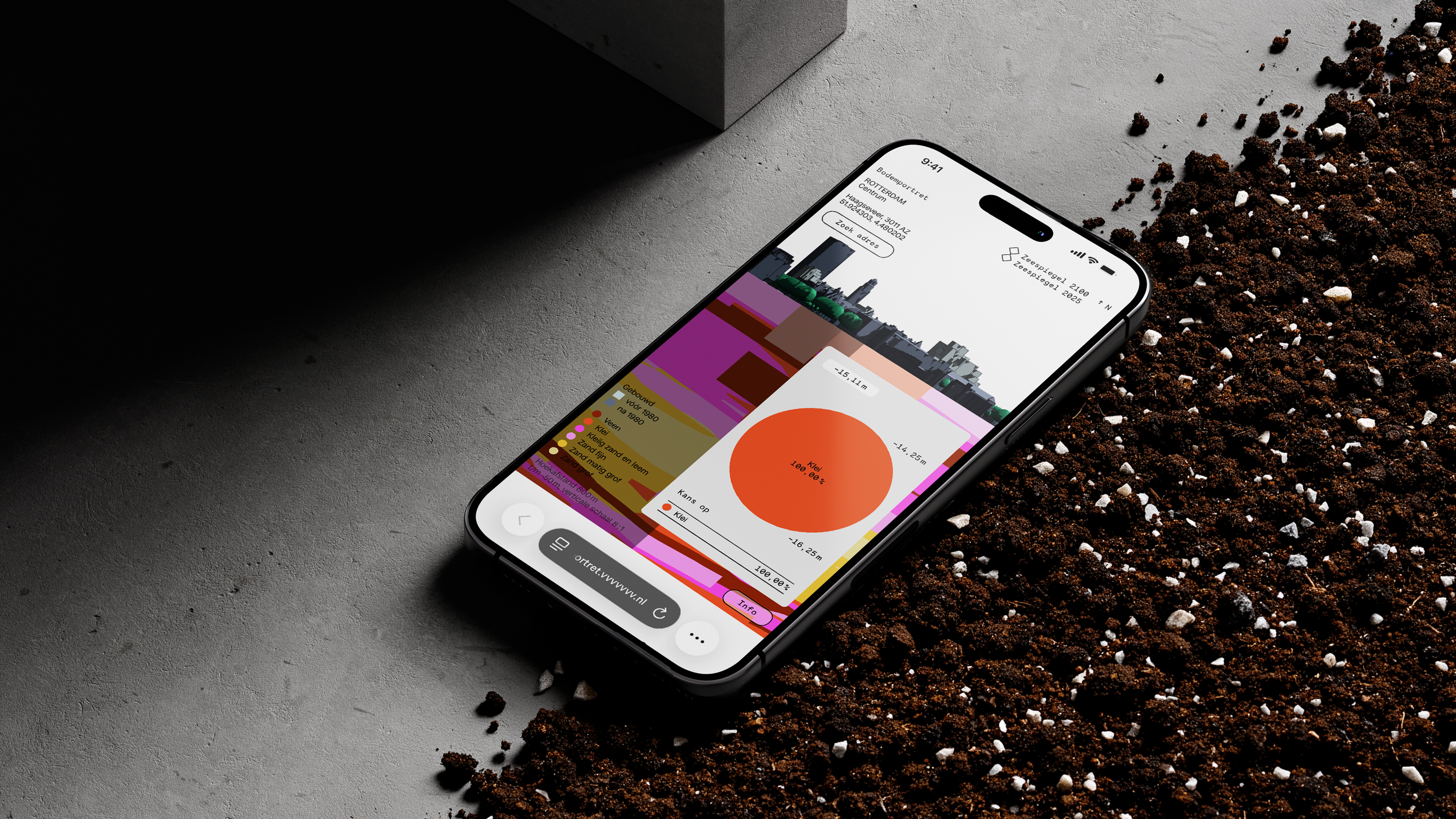
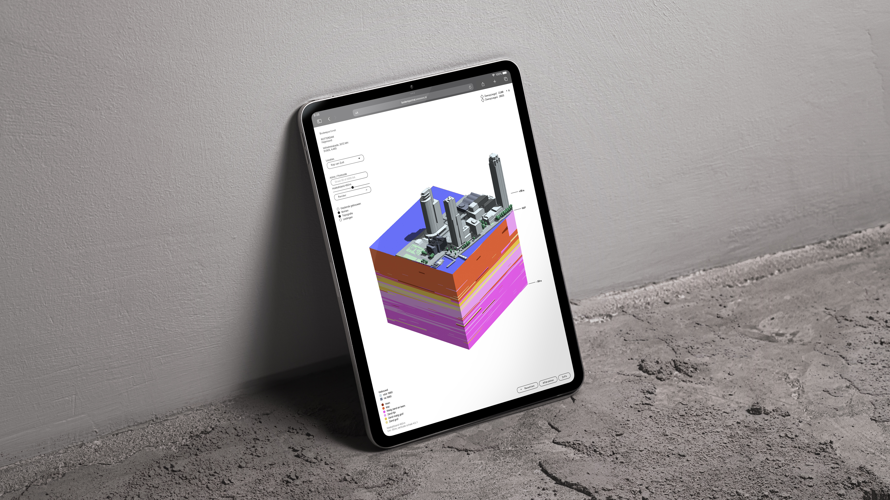
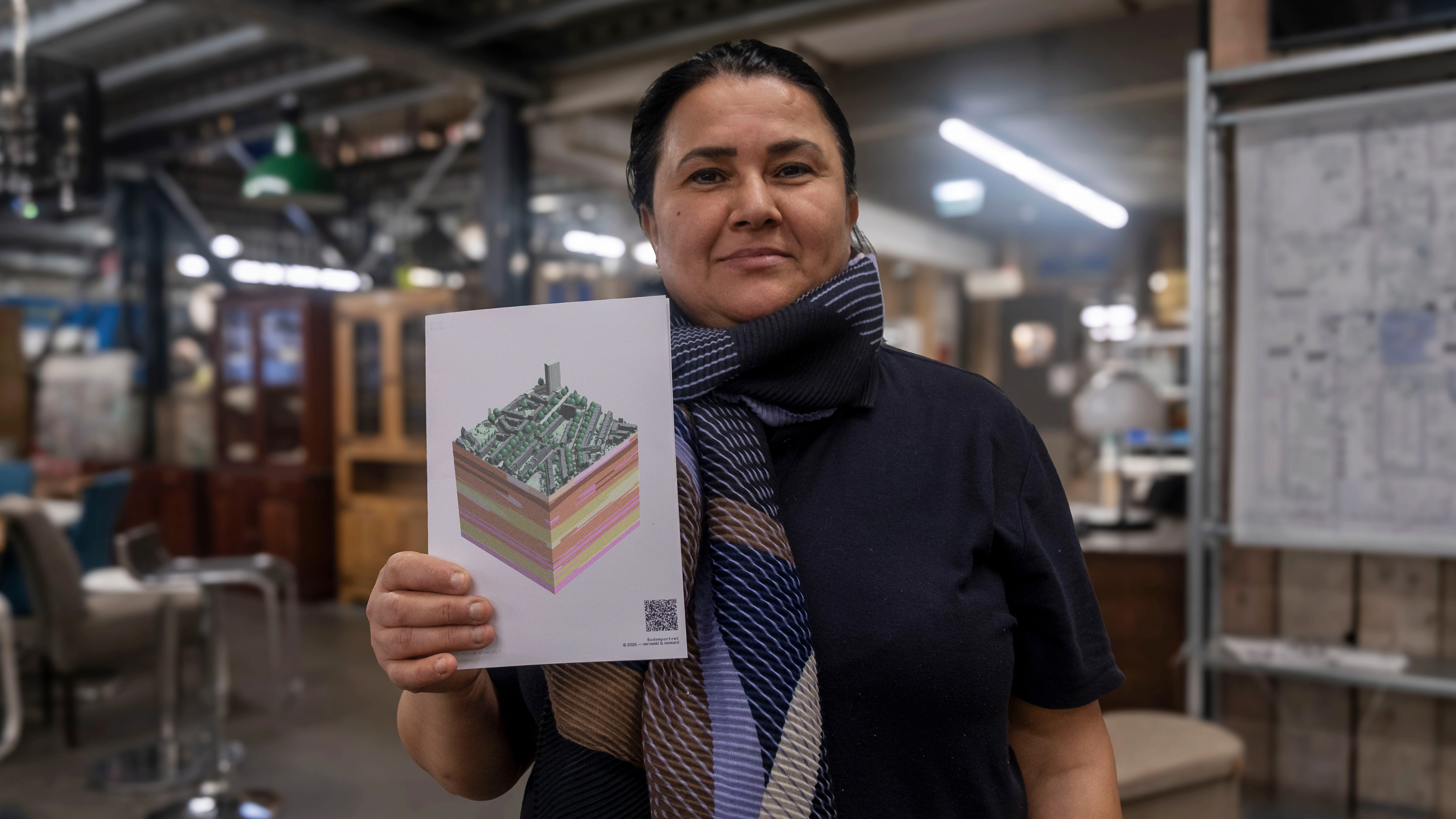
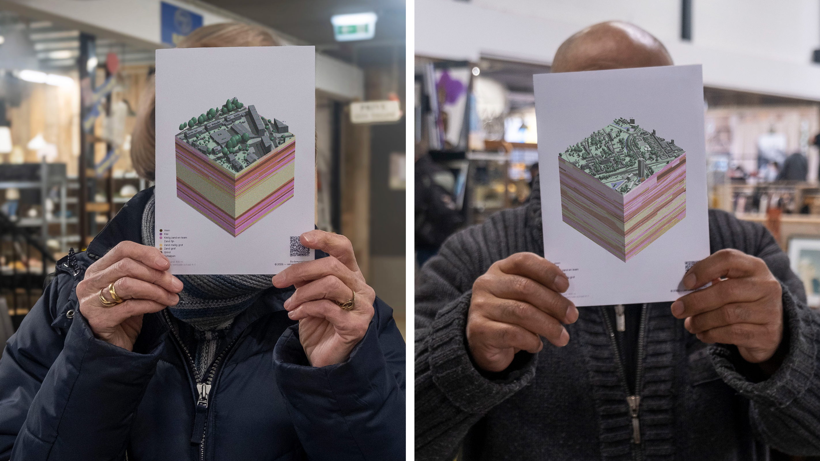
Bodemportret democratises technical soil data typically reserved for municipalities and developers. Through intuitive interaction, users discover whether they live on clay, peat, or sand, and learn how that soil influences everything from garden planning to flood risk and sea level projections. The tool bridges digital information with physical reality. Each portrait can be printed and framed, turning geological data into a tangible piece of place identity, something to feel curious about and proud of. Because behind every dataset are people, with their own lives and sense of belonging. Bodemportret reveals stories, not just information.
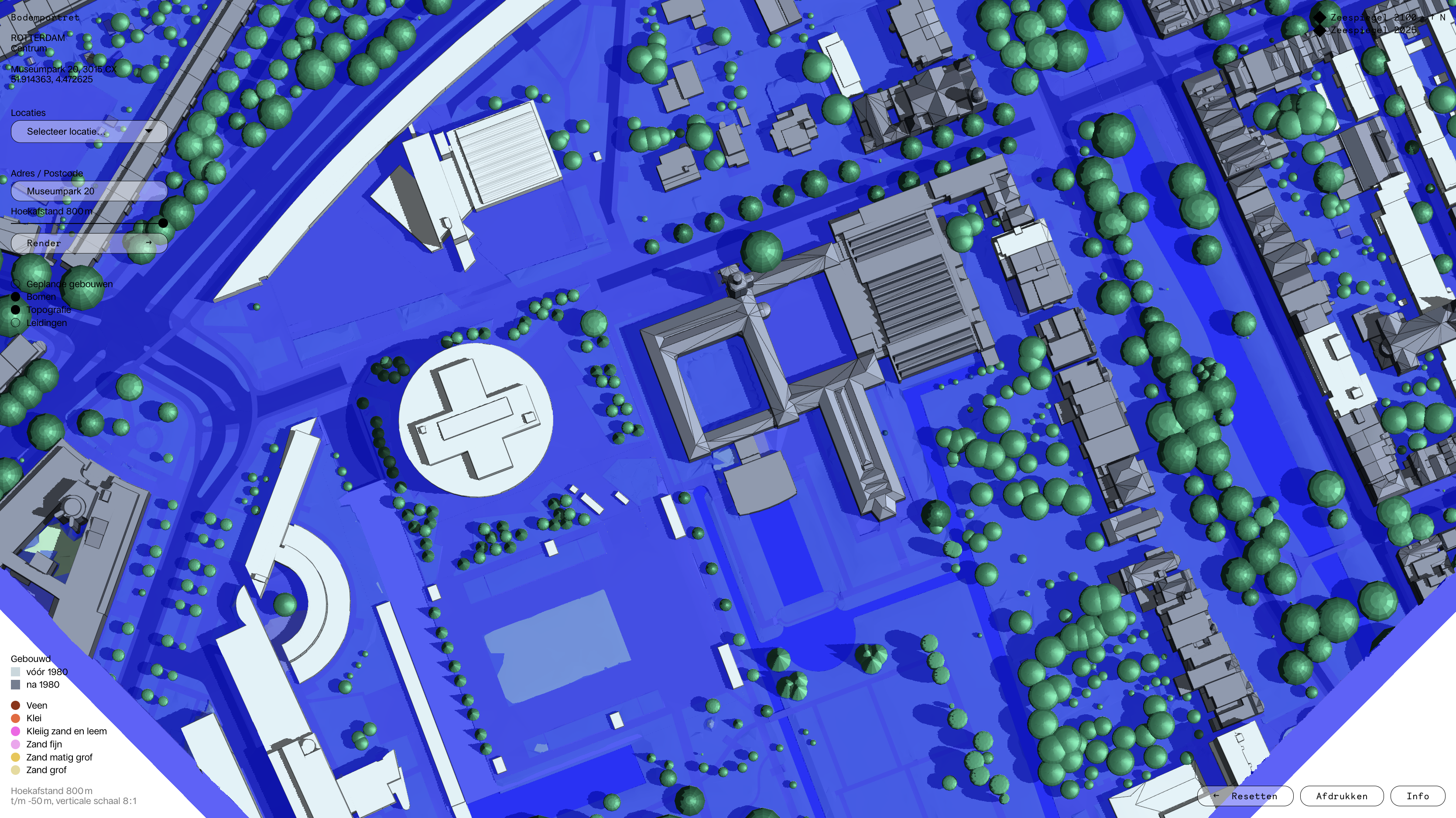
Each user digs out their own piece. Wandering through the portrait, they can click on details for deeper information, rotate to a different perspective, zoom in, or toggle projected sea level rise for 2100. Whether exploring out of curiosity or preparing for a neighbourhood consultation, every user finds their own way in.
Beyond individual discovery, Bodemportret functions as a conversation starter, sparking informed dialogue about urban futures. Deployed in educational settings, neighbourhood events, and developer participation processes, it has already been used in several community workshops across different Rotterdam neighbourhoods, facilitating grounded conversations about climate risks, soil subsidence, and what adaptive urban planning might mean for residents' own streets. It demonstrates how rigorous information design can move residents from passive recipients of policy to active, informed participants in decisions about their neighbourhood's future.
Bodemportret makes the invisible visible. It turns soil awareness into neighbourhood pride, and neighbourhood pride into informed citizenship.
Credits